Smoother journeys on Smarter Roads
Smarter Roads is transforming Melbourne’s arterial road network to help improve journey reliability, reduce delays and better manage congestion in response to increasing traffic volumes.
I want to know...
What is Smarter Roads?
The Smarter Roads program is investing in people and rolling out technology across the road network to give Melbourne’s road users smoother, safer and more reliable journeys. The program rollout is nearing completion, however all transport users will feel the benefits across Melbourne for years to come.

Ongoing program
Traffic light optimisation
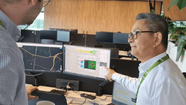
Our expanded team of signal engineers are optimising traffic lights across Melbourne’s arterial roads to improve their efficiency and coordination and to share the green time more fairly between road users.


Our technology
We’ve rolled out a package of new transport technology across Melbourne to maximise the efficiency of our existing road network. From traffic monitoring cameras to travel time sensors to dynamic pedestrian detectors, all of this technology helps us monitor our road network and respond more quickly to incidents and congestion to keep people and goods moving.
Select the technology below to learn more.
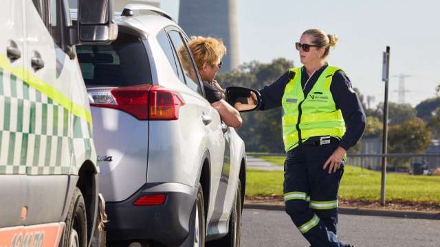
Our people
A key part of the Smarter Roads program involved investing in people. More 'boots on the ground', using our smart technology to monitor and respond to incidents, means smoother flowing traffic for all of Melbourne.