
Programs
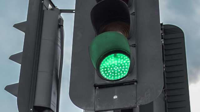
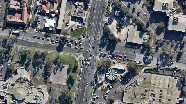
Traffic light optimisation
ONGOING PROGRAM
The Smarter Roads program is undertaking the biggest review and recalibration of Melbourne’s traffic lights since they were first introduced nearly 100 years ago.
I want to know...
How does it work?
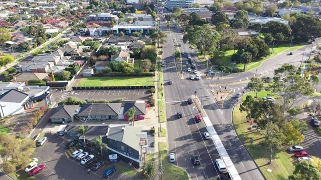
With Melbourne’s population predicted to surpass Sydney’s by 2032, we’re working to get maximum efficiency out of roads that are already built, to help cope with this growth.
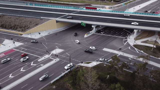
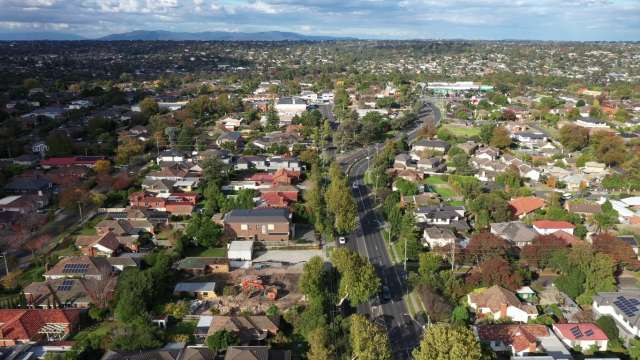
Our expanded team of signal engineers are optimising traffic lights across Melbourne’s arterial roads to improve their efficiency and coordination and to share the green time more fairly between road users.
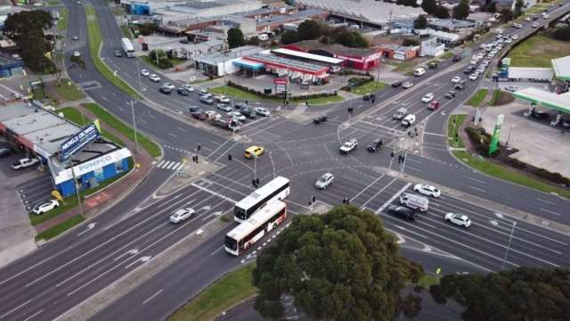
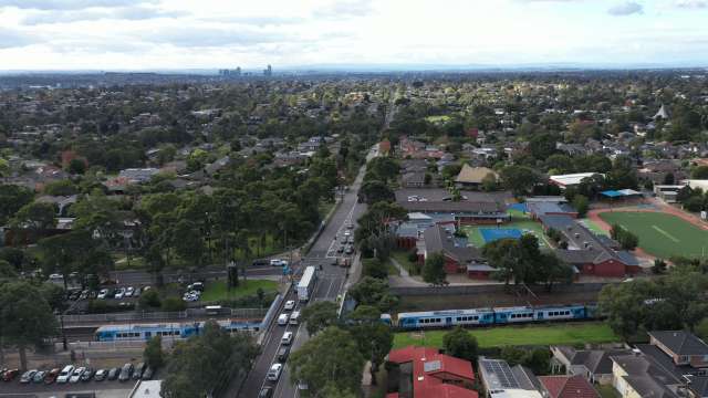
Our signal engineers consider feedback from colleagues in the Department, councils, and public transport operators. They also analyse traffic volumes during peak and off-peak times and look at how roads are used by all transport modes including cars, freight, public transport, cyclists, and pedestrians when conducting reviews.
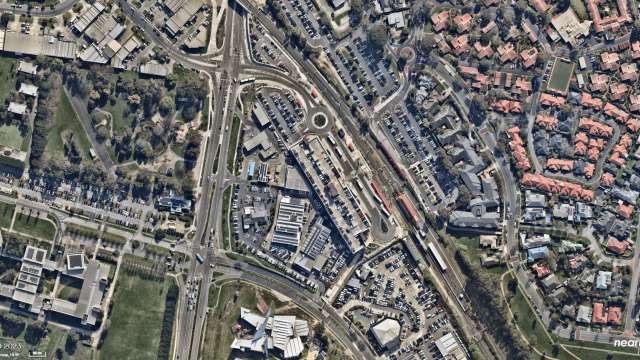
They are completing these reviews more efficiently than ever thanks to the installation of hundreds of new cameras and sensors by Smarter Roads, providing unprecedented visibility of what’s happening on the arterial road network.
Learn how we review and optimise our traffic lights

We've halved the time between traffic light reviews
We’re working across metropolitan Melbourne at a greater pace than ever before. Historically, traffic signal sites have been reviewed around every 10 years. With the help of hundreds more traffic monitoring cameras and sensors and extra people on the ground, we will be completing reviews at more than double the pace, every four to five years.
Read about how traffic light optimisation has improved journeys for road users across different suburbs of Melbourne...
Benefits for road users
The results for each location vary depending on how well an intersection is already operating, and where there is room for improvement.
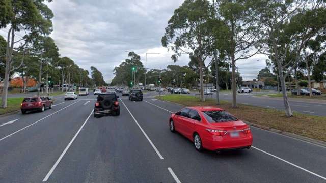
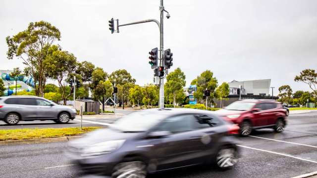
By recalibrating signals and improving synchronisation between intersections along busy sections of road we can help reduce stop/start trips and give road users a clearer run through multiple sets of lights.
In built-up areas near schools and shops, where there is more foot traffic, we’ll give pedestrians and public transport more green time where possible.
Examples of how the program has already improved the road user experience include:
Better travel times
Many of our traffic light reviews have resulted in immediate travel time savings for drivers. For example, since we reviewed the traffic lights along Clyde Road in Berwick, motorists travelling south from Mansfield Street to O’Shea Road were saving an average of about 4 mins 30 seconds (43.6%) during the afternoon peak – and this is while traffic volume had increased by 4.8 per cent.
Reduced queues
Getting more vehicles through an intersection on a single light cycle can reduce queues and stop overflow into other lanes. For example, our traffic light review of Wellington Road in Mulgrave enabled around 240 more vehicles to turn right into Brandon Park Drive in Mulgrave during the busy morning peak.
Quicker and safer crossings
We have given more priority to pedestrians close to schools, shops and public transport during off-peak periods. For example, the average pedestrian wait-times on High Street, between Winbirra Parade and Huntingdale Road Ashburton, has reduced by between 13 and 24 seconds at six pedestrian crossings.
When is it being delivered?
We are taking a staged approach to this program. By mid-2027, we will have reviewed and optimised the traffic lights at more than 3,200 intersections and crossings along 271 sections of arterial roads within 28 local government areas.
Every traffic signal site will be reviewed again on average every four to five years.
2021 - 2023
During the first stage of the program, we reviewed traffic lights along sections of every arterial road in Melbourne's west, east and south eastern suburbs.
Between 2021 and 2023, we reviewed and optimised signals along 85 corridors (sections of road), including 969 intersections and standalone crossings.
See the map to discover which roads have been optimised near you.
2023 - 2027
From mid-2023 to mid-2027 the traffic light optimisation program is continuing to review signals along every major road in the remaining areas of greater metropolitan Melbourne.